


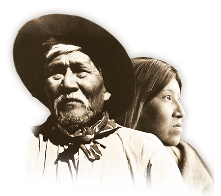
Agua Caliente History
Since time immemorial, the Agua Caliente Band of Cahuilla Indians has called the Palm Springs area home. Long ago, they built complex communities in the Palm, Murray, Andreas, Tahquitz and Chino canyons. With an abundant water supply, the plants, animals and Agua Caliente Indians thrived. They grew crops of melons, squash, beans and corn. They gathered plants and seeds for food, medicines and basket weaving. Today, remnants of the early Agua Caliente society such as rock art, house pits, foundations, irrigation ditches, dams, reservoirs, trails and food preparation areas still exist in the canyons.
The Agua Caliente Indians have always been industrious and creative with a reputation for independence, integrity and peace. In 1876 and 1877, the U.S. Federal Government deed in trust to the Agua Caliente people 31,500 acres for their homeland. The Federal Government previously gave the Southern California Railroad 10 miles of odd-numbered sections of land to induce the company to build the railroad. Of the Agua Caliente Indian Reservation’s 31,500 acres, about 6,700 acres are within the Palm Springs city limits. The remaining sections span across the desert and mountains in a checkerboard pattern.
As early as the 1900s, Palm Springs and the surrounding area have been described as a recreational oasis. Tahquitz Canyon and the Indian Canyons are listed on the National Register of Historic Places. Palm Canyon in the Indian Canyons is the world’s largest Washingtonia filifera (California Fan Palm) oasis.